Launch of the DataHub platform
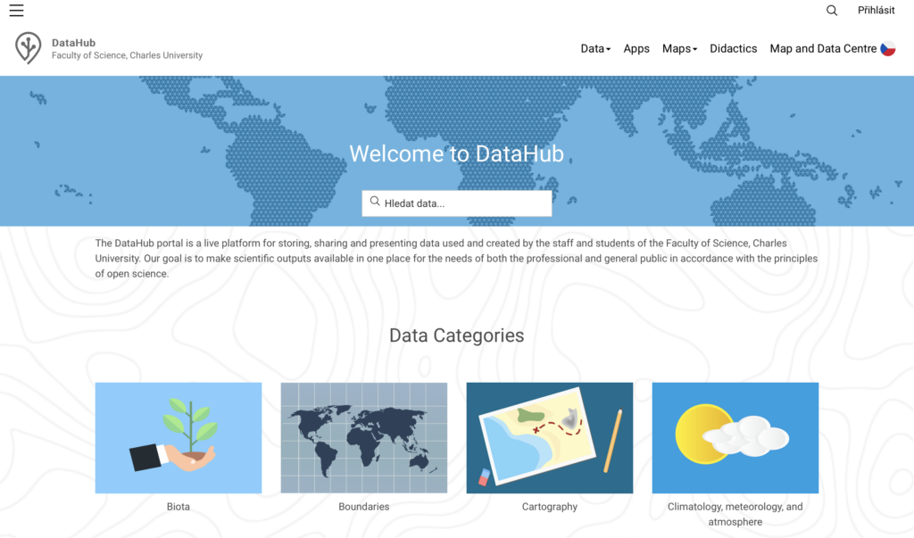
Using the modern geoinformation environment ArcGIS Hub, the Map and Data Centre team managed to create the DataHub platform, which aims to easily catalogue and efficiently distribute data to the staff and students of the Institute of Geography and the general public. The DataHub platform provides data produced by national and international projects as well as extensive databases of freely available data. The DataHub platform is linked to a repository in ArcGIS Online from which data can be downloaded, visualized or analyzed. The application then allows the Institute’s staff to share materials for lectures and tutorials or to present the results of their own research projects and studies. The platform has now been extended to include Amazon S3 storage, provided by CESNET as part of an institutional collaboration. This repository is used for self-backup, sharing sensitive data or distributing very large datasets for teaching, projects or articles. As part of the collaboration, access to the national repository was created for the Institute of Geography, which provides the ability to permanently share unique data generated by projects and studies or for submission of appendices in scientific publications. The system also allows the generation of DOI codes.